Разделы презентаций
- Разное
- Английский язык
- Астрономия
- Алгебра
- Биология
- География
- Геометрия
- Детские презентации
- Информатика
- История
- Литература
- Математика
- Медицина
- Менеджмент
- Музыка
- МХК
- Немецкий язык
- ОБЖ
- Обществознание
- Окружающий мир
- Педагогика
- Русский язык
- Технология
- Физика
- Философия
- Химия
- Шаблоны, картинки для презентаций
- Экология
- Экономика
- Юриспруденция
M-115 Karavaeva Ksenia Ratunina Anastasia the geographical position of the
Содержание
- 1. M-115 Karavaeva Ksenia Ratunina Anastasia the geographical position of the
- 2. The United States Geographical Position
- 3. The United States
- 4. The area of the USA is of
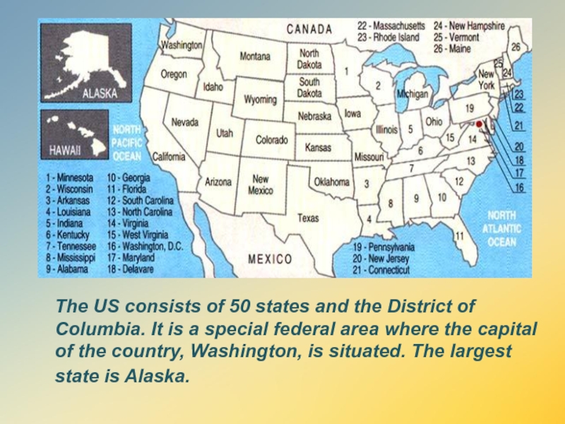
- 5. The US consists of 50
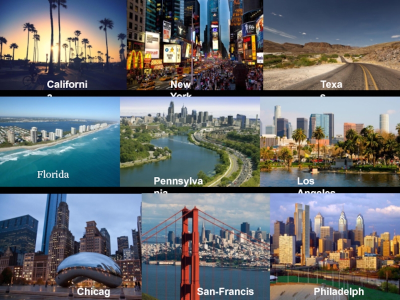
- 6. CaliforniaNew YorkTexasFloridaLos AngelesChicagoPennsylvaniaFloridaSan-FranciscoPhiladelphia
- 7. The highland regions are the Appalachian Mountains
- 8. The main rivers of
- 9. The five Great Lakes,
- 10. The main symbol of the
- 11. Canada Geographical position
- 12. Canada is the second largest country in
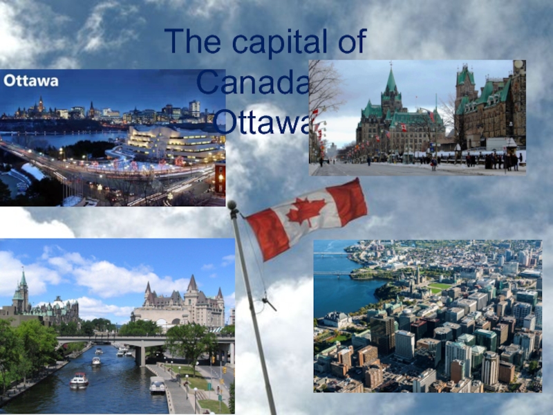
- 13. The capital of Canada - Ottawa
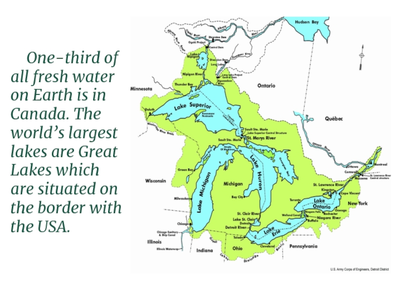
- 14. One-third of all fresh water on Earth
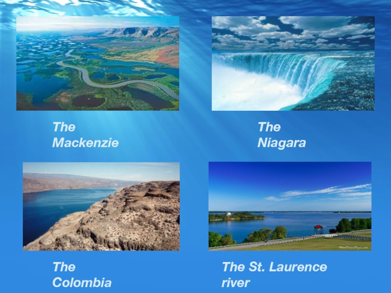
- 15. The MackenzieThe NiagaraThe ColombiaThe St. Laurence river
- 16. The Rocky MountainsThe Appalachian MountainsThe Cordillera
- 17. There are various types of climate from
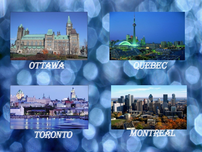
- 18. OttawaQuebecTorontoMontreal
- 19. Canada is a constitutional monarchy. It is
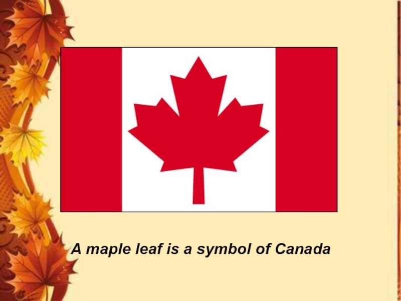
- 20. A maple leaf is a symbol of Canada
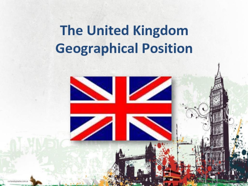
- 21. The United Kingdom Geographical Position
- 22. The state is located in the British
- 23. The area of the UK is 243
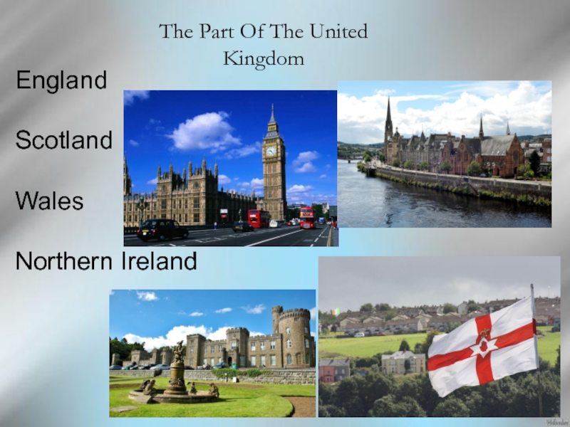
- 24. The Part Of The United KingdomEngland Scotland Wales Northern Ireland
- 25. EnglandEngland is in the southern and Central
- 26. Scotland is in the North of the
- 27. WalesWales is in the West. Wales has
- 28. Northern Ireland Northern Ireland is situated in
- 29. The national flag of the United Kingdom
- 30. Russia Geographical Position
- 31. It is located in the East of
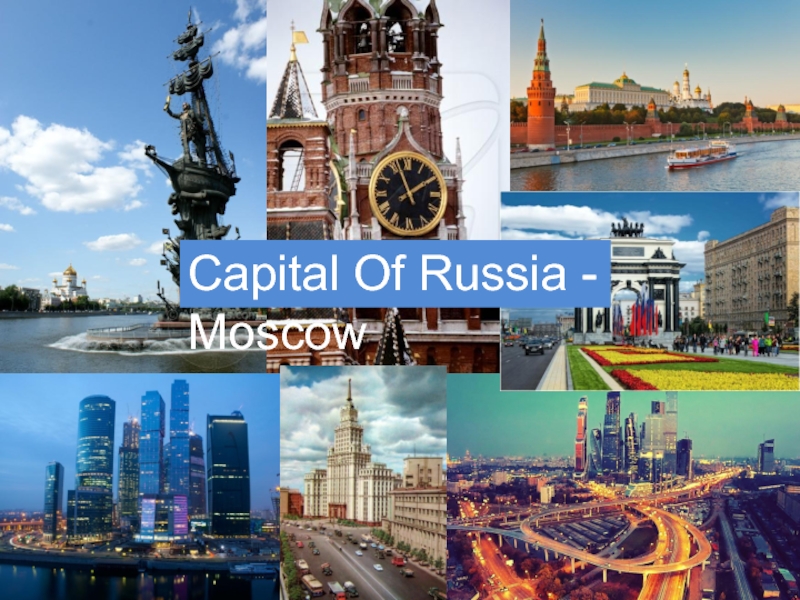
- 32. Capital Of Russia - Moscow
- 33. The area of the Russian Federation is
- 34. On the extreme North mainland
- 35. In the Russian Federation consists of 85
- 36. MoscowSaint-PetersburgNovosibirskYekaterinburgKazanSamaraChelyabinskRostov-on-don Nizhny NovgorodRostov-on-don
- 37. One of the leading space powers in
- 38. The flag is attached to a staff
- 39. Слайд 39
- 40. Скачать презентанцию
The United States Geographical Position
Слайды и текст этой презентации
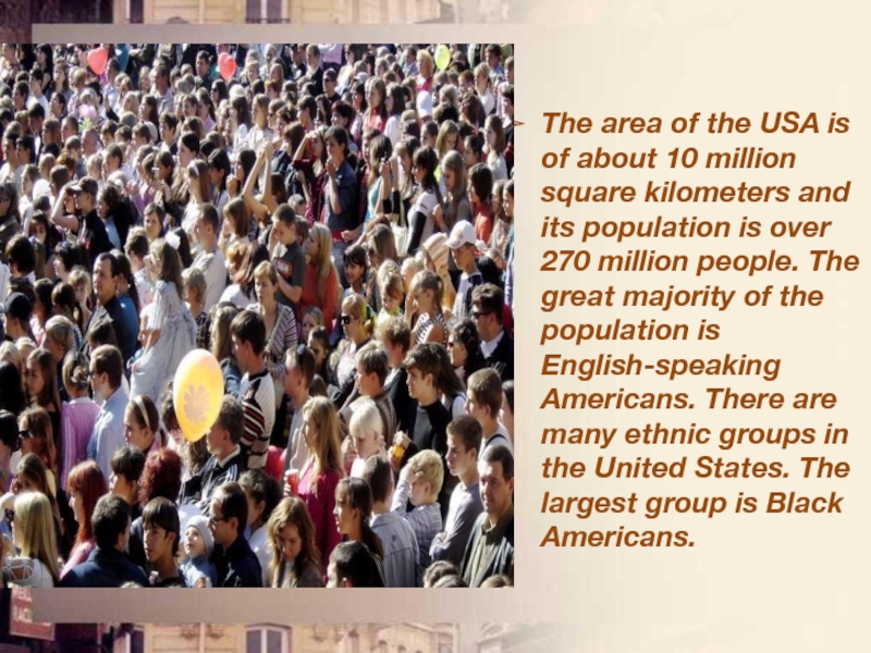
Слайд 4The area of the USA is of about 10 million
square kilometers and its population is over 270 million people.
The great majority of the population is English-speaking Americans. There are many ethnic groups in the United States. The largest group is Black Americans.Слайд 5 The US consists of 50 states and the
District of Columbia. It is a special federal area where
the capital of the country, Washington, is situated. The largest state is Alaska.Слайд 7The highland regions are the Appalachian Mountains in the east
and the Cordillera in the west. The Appalachian Mountains are
ancient, strongly destroyed mountains of no great height. The valleys between them are rich in coal. It is the oldest mountain system in the US.Слайд 8 The main rivers of the USA are
the Mississippi, the Missouri, the Rio Grande, the Colorado, the
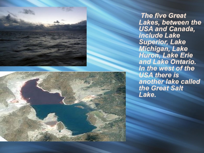
Columbia and the Hudson River.Слайд 9 The five Great Lakes, between the USA
and Canada, include Lake Superior, Lake Michigan, Lake Huron, Lake
Erie and Lake Ontario. In the west of the USA there is another lake called the Great Salt Lake.Слайд 10 The main symbol of the USA is the
national flag, which is often called “The Stars and Stripes”.
As there are 50 states in the UAS, there are 50 stars on the American flag. The flag also has 13 stripes: seven red stripes and six white stripes. There is one stripe for each of the first thirteen colonies of the United States.Слайд 12Canada is the second largest country in the world. It
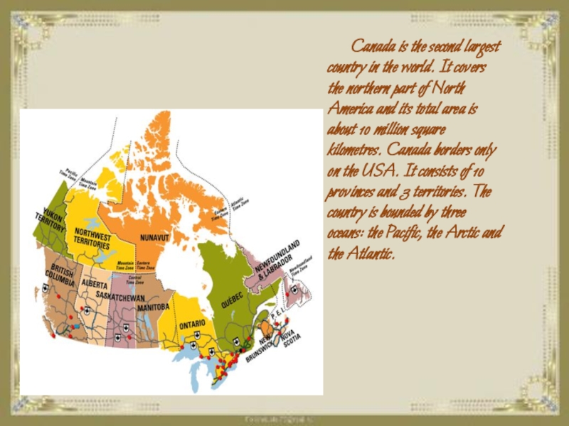
covers the northern part of North America and its total
area is about 10 million square kilometres. Canada borders only on the USA. It consists of 10 provinces and 3 territories. The country is bounded by three oceans: the Pacific, the Arctic and the Atlantic.Слайд 14One-third of all fresh water on Earth is in Canada.
The world’s largest lakes are Great Lakes which are situated
on the border with the USA.Слайд 17There are various types of climate from arctic in the
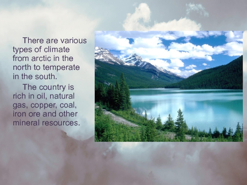
north to temperate in the south.
The country is rich in
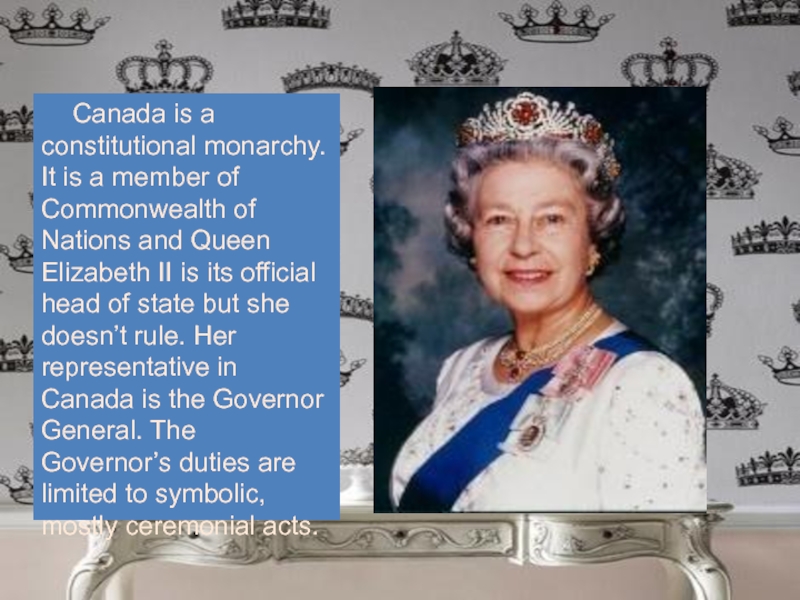
oil, natural gas, copper, coal, iron ore and other mineral resources.Слайд 19Canada is a constitutional monarchy. It is a member of
Commonwealth of Nations and Queen Elizabeth II is its official
head of state but she doesn’t rule. Her representative in Canada is the Governor General. The Governor’s duties are limited to symbolic, mostly ceremonial acts.Слайд 22The state is located in the British Isles (island of
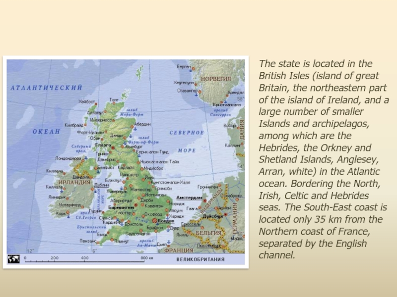
great Britain, the northeastern part of the island of Ireland,
and a large number of smaller Islands and archipelagos, among which are the Hebrides, the Orkney and Shetland Islands, Anglesey, Arran, white) in the Atlantic ocean. Bordering the North, Irish, Celtic and Hebrides seas. The South-East coast is located only 35 km from the Northern coast of France, separated by the English channel.Слайд 23The area of the UK is 243 809 km2, of
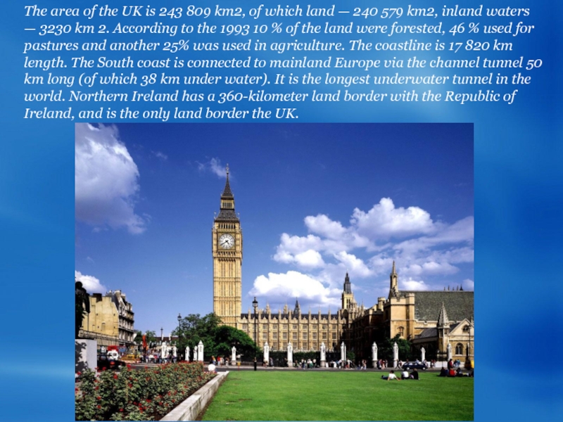
which land — 240 579 km2, inland waters — 3230
km 2. According to the 1993 10 % of the land were forested, 46 % used for pastures and another 25% was used in agriculture. The coastline is 17 820 km length. The South coast is connected to mainland Europe via the channel tunnel 50 km long (of which 38 km under water). It is the longest underwater tunnel in the world. Northern Ireland has a 360-kilometer land border with the Republic of Ireland, and is the only land border the UK.Слайд 25England
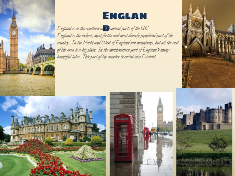
England is in the southern and Central parts of the
UK. England is the richest, most fertile and most densely populated
part of the country. In the North and West of England are mountains, but all the rest of the area is a big plain. In the northwestern part of England's many beautiful lakes. This part of the country is called lake District.Слайд 26Scotland is in the North of the island. Scotland --
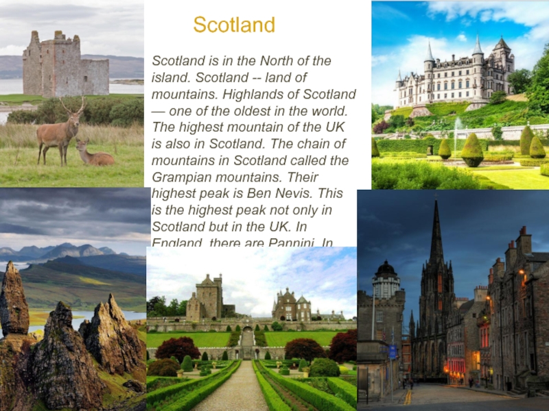
land of mountains. Highlands of Scotland — one of the
oldest in the world. The highest mountain of the UK is also in Scotland. The chain of mountains in Scotland called the Grampian mountains. Their highest peak is Ben Nevis. This is the highest peak not only in Scotland but in the UK. In England, there are Pannini. In Wales — Cambiasca mountains.Scotland
Слайд 27Wales
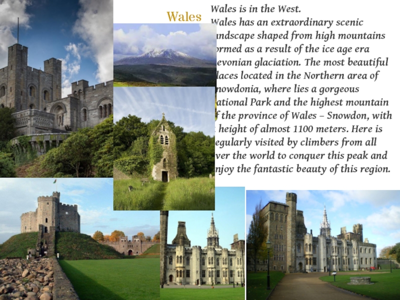
Wales is in the West.
Wales has an extraordinary scenic
landscape shaped from high mountains formed as a result of
the ice age era Devonian glaciation. The most beautiful places located in the Northern area of Snowdonia, where lies a gorgeous national Park and the highest mountain of the province of Wales – Snowdon, with a height of almost 1100 meters. Here is regularly visited by climbers from all over the world to conquer this peak and enjoy the fantastic beauty of this region.Слайд 28Northern Ireland
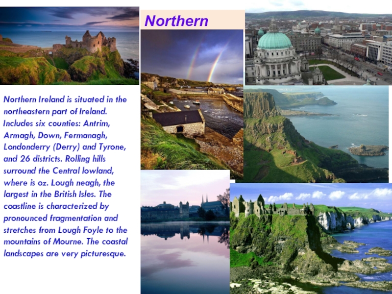
Northern Ireland is situated in the northeastern part
of Ireland. Includes six counties: Antrim, Armagh, Down, Fermanagh, Londonderry
(Derry) and Tyrone, and 26 districts. Rolling hills surround the Central lowland, where is oz. Lough neagh, the largest in the British Isles. The coastline is characterized by pronounced fragmentation and stretches from Lough Foyle to the mountains of Mourne. The coastal landscapes are very picturesque.Слайд 29The national flag of the United Kingdom is the most
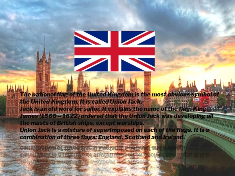
obvious symbol of the United Kingdom. It is called Union
Jack. Jack is an old word for sailor. It explains the name of the flag. King James (1566 – 1622) ordered that the Union Jack was developing all the masts of British ships, except warships. Union Jack is a mixture of superimposed on each of the flags. It is a combination of three flags: England, Scotland and Ireland.Слайд 31It is located in the East of Europe and Northern
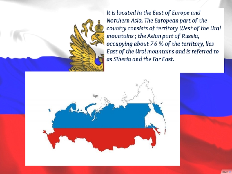
Asia. The European part of the country consists of territory
West of the Ural mountains ; the Asian part of Russia, occupying about 76 % of the territory, lies East of the Ural mountains and is referred to as Siberia and the Far East.Слайд 33The area of the Russian Federation is approximately equal to
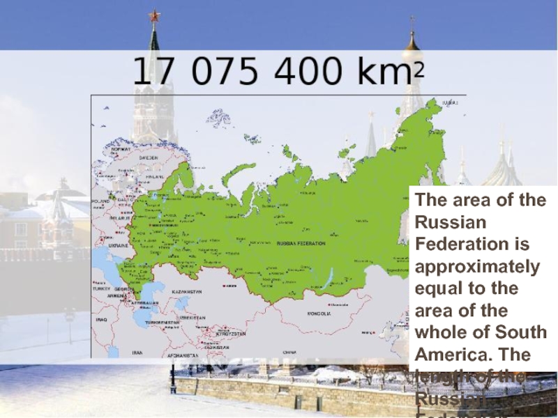
the area of the whole of South America. The length
of the Russian Federation from South to North - about 4 000 km, from West to East more than 10 000 km.Слайд 34
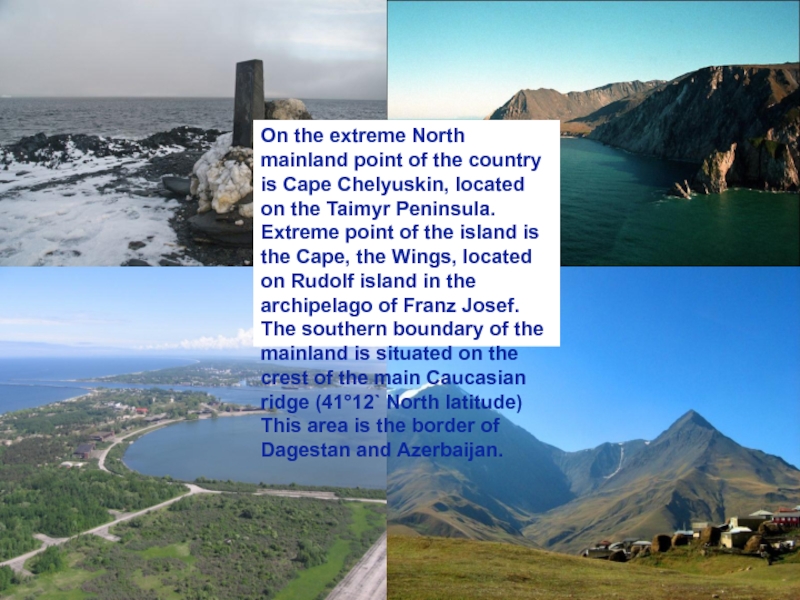
On the extreme North mainland point of the country is
Cape Chelyuskin, located on the Taimyr Peninsula. Extreme point of
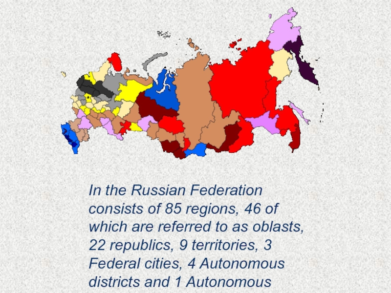
the island is the Cape, the Wings, located on Rudolf island in the archipelago of Franz Josef. The southern boundary of the mainland is situated on the crest of the main Caucasian ridge (41°12` North latitude) This area is the border of Dagestan and Azerbaijan.Слайд 35In the Russian Federation consists of 85 regions, 46 of
which are referred to as oblasts, 22 republics, 9 territories,
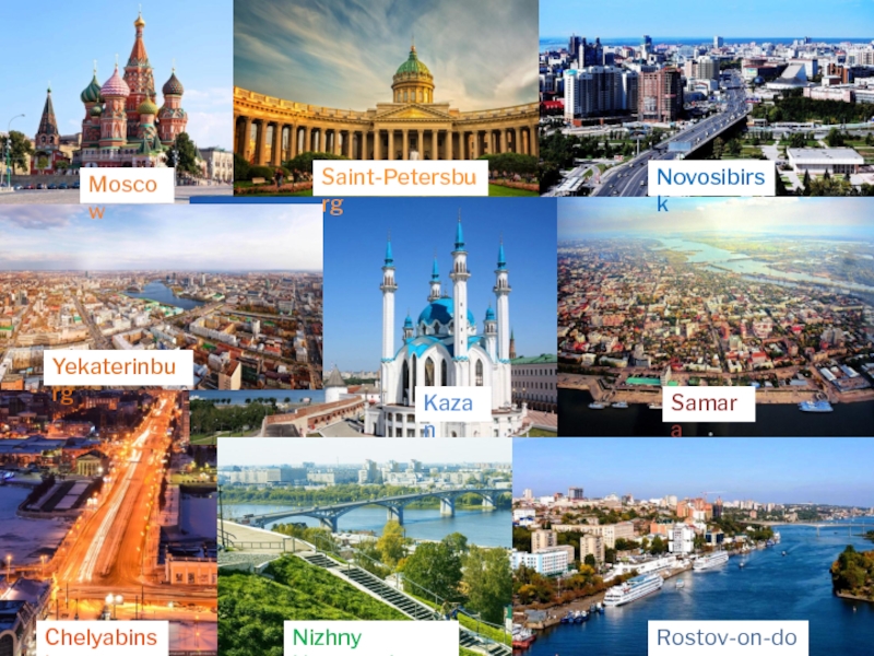
3 Federal cities, 4 Autonomous districts and 1 Autonomous oblast.Слайд 36Moscow
Saint-Petersburg
Novosibirsk
Yekaterinburg
Kazan
Samara
Chelyabinsk
Rostov-on-don
Nizhny Novgorod
Rostov-on-don
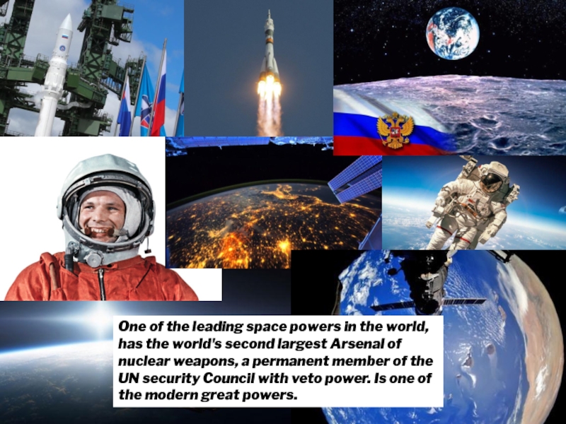
Слайд 37One of the leading space powers in the world, has
the world's second largest Arsenal of nuclear weapons, a permanent
member of the UN security Council with veto power. Is one of the modern great powers.Слайд 38The flag is attached to a staff or cord, the
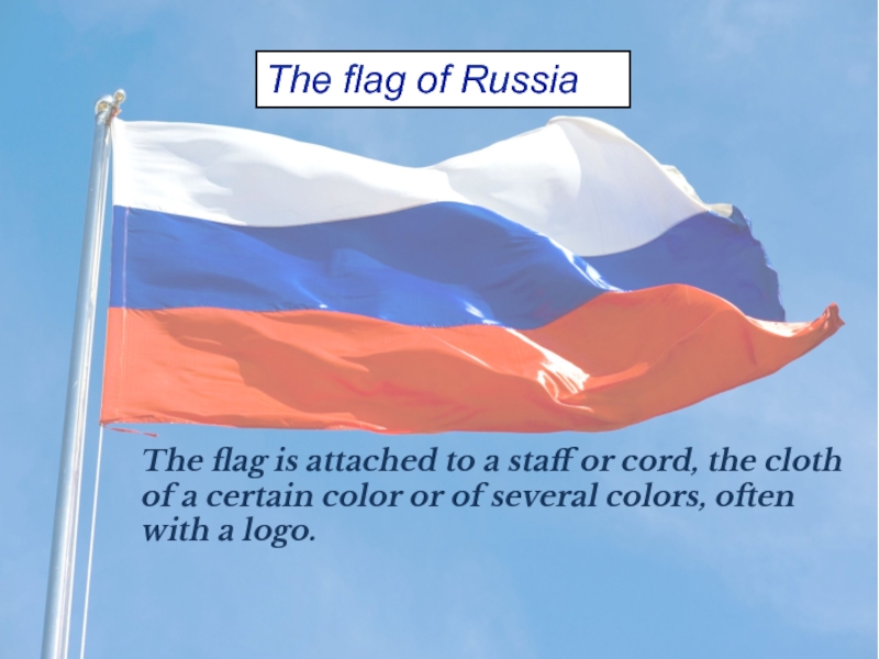
cloth of a certain color or of several colors, often
with a logo.The flag of Russia
