Разделы презентаций
- Разное
- Английский язык
- Астрономия
- Алгебра
- Биология
- География
- Геометрия
- Детские презентации
- Информатика
- История
- Литература
- Математика
- Медицина
- Менеджмент
- Музыка
- МХК
- Немецкий язык
- ОБЖ
- Обществознание
- Окружающий мир
- Педагогика
- Русский язык
- Технология
- Физика
- Философия
- Химия
- Шаблоны, картинки для презентаций
- Экология
- Экономика
- Юриспруденция
The United Kingdom of Great Britain and Northern Ireland
Содержание
- 1. The United Kingdom of Great Britain and Northern Ireland
- 2. The British IslesAre situated off the north-west
- 3. Administrative divisionBritain consists of the three, formerly
- 4. EnglandEngland covers 50,085 sq milesIs bound by
- 5. Scotland The Scottish Highlands - the northern
- 6. Wales Wales lies southwest of the PenninesIs
- 7. Northern IrelandLow mountains, deep valleys, and fertile
- 8. Скачать презентанцию
The British IslesAre situated off the north-west coast of EuropeComprise two big islands of Great Britain and Ireland, and over 5,000 smaller islands: the Inner and Outer Hebrides, the Orkney and
Слайды и текст этой презентации
Слайд 2The British Isles
Are situated off the north-west coast of Europe
Comprise
two big islands of Great Britain and Ireland, and over
5,000 smaller islands: the Inner and Outer Hebrides, the Orkney and the Shetland Islands, the Isle of Man, Anglesey, the Isle of Wight, the Isles of Scilly and the Channel Islands, the biggest of which are Jersey and GuernseyThe total area of the British Isles is 322,264 square km.
Слайд 3Administrative division
Britain consists of the three, formerly separate, countries of
England, Scotland & Wales
Wales had been incorporated in 1535
Scotland and
England joined an Act of Union in 1707Since then the island has been officially known as Great Britain
The 4th part of the Kingdom is Northern Ireland or Ulster, which shares the island of Ireland with the Irish Republic or Eire.
The United Kingdom’s area is about 244,177 square km
The political name of the country is the United Kingdom of Great Britain & Northern Ireland.
Слайд 4England
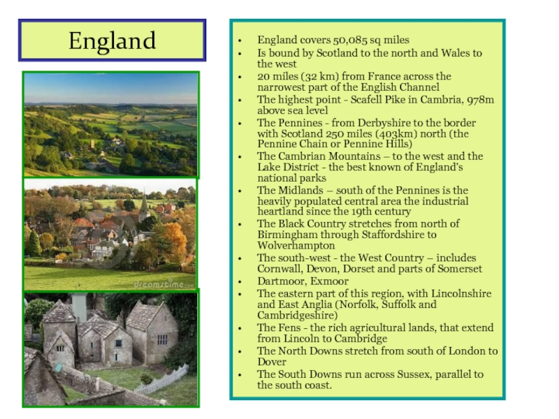
England covers 50,085 sq miles
Is bound by Scotland to the
north and Wales to the west
20 miles (32 km) from
France across the narrowest part of the English ChannelThe highest point - Scafell Pike in Cambria, 978m above sea level
The Pennines - from Derbyshire to the border with Scotland 250 miles (403km) north (the Pennine Chain or Pennine Hills)
The Cambrian Mountains – to the west and the Lake District - the best known of England’s national parks
The Midlands – south of the Pennines is the heavily populated central area the industrial heartland since the 19th century
The Black Country stretches from north of Birmingham through Staffordshire to Wolverhampton
The south-west - the West Country – includes Cornwall, Devon, Dorset and parts of Somerset
Dartmoor, Exmoor
The eastern part of this region, with Lincolnshire and East Anglia (Norfolk, Suffolk and Cambridgeshire)
The Fens - the rich agricultural lands, that extend from Lincoln to Cambridge
The North Downs stretch from south of London to Dover
The South Downs run across Sussex, parallel to the south coast.
Слайд 5Scotland
The Scottish Highlands - the northern half of
Scotland
mountain ranges, plateaus, and deep valleys
Ben Nevis (1,343 meters) –
the highest point in the British Isles Lochs – bays cut into the Atlantic Ocean and North Sea coasts, flanked by steep mountain slopes and reach far inland
The soil of this rugged, windswept region is thin and poor
Moor – an area of coarse grasses, a few small trees, and low evergreen shrubs called heather
Sheep-raising, fishing, tourism
The Central lowlands – south of the Scottish Highlands, in the valley of the Clyde, Forth, and Tay rivers
A rolling plain
The best Scotland’s farmland and its richest coal deposits
Most of the Scottish people and most of Scotland’s industry
The largest industrial city is Glasgow, the capital is Edinburgh.
Слайд 6Wales
Wales lies southwest of the Pennines
Is separated from the
Pennines by a narrow strip of the English lowlands
The Cambrian
Mountains cover most of the WalesSouthern Wales – a plateau deeply cut by river valleys
Most of the people live on the narrow coastal plains or in the deep green river valleys
Crop farming
Grazing sheep
Deposits of coal
The capital city is a large port of Cardiff
Слайд 7Northern Ireland
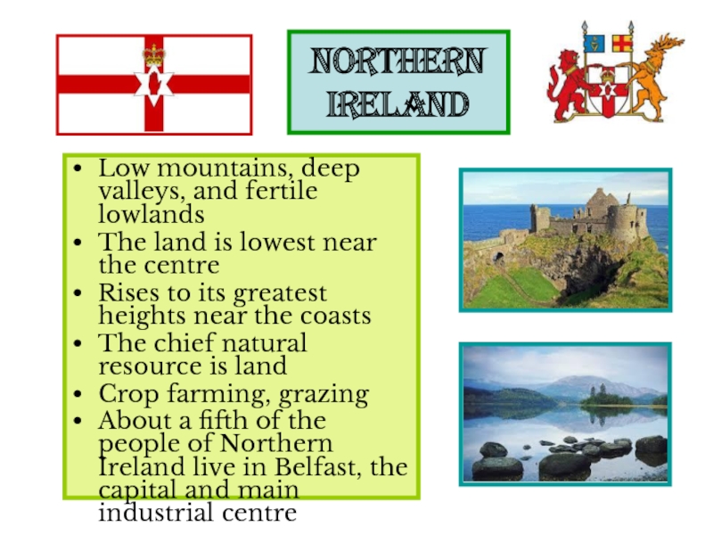
Low mountains, deep valleys, and fertile lowlands
The land is
lowest near the centre
Rises to its greatest heights near the
coastsThe chief natural resource is land
Crop farming, grazing
About a fifth of the people of Northern Ireland live in Belfast, the capital and main industrial centre
